
Description
ISBN: 9416458075353
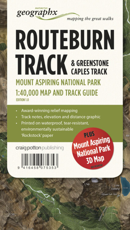
Title: Routebourn Track – Mount Aspriring National Park – Parkmap
Author: GEOGRAPHIX MAPSMITHS
Blurb: Edition 1 2013
Scale 1:40 000
The Routeburn, Caples & Greenstone Tracks straddle the Humboldt and Ailsa Mountains where Mount Aspiring and Fiordland National Parks meet along the main divide. The Routeburn Track is walked by more than 13,000 people annually and is justifiably famous for its spectacular views of the Darran and Humboldt Mountains, and the Hollyford Valley.
Features:
Additional Mount Aspiring National Park 3D Map on reverse
Award-winning relief mapping
Track notes, elevation and distance graphic
Printed on waterproof, tear-resistant, environmentally sustainable ‘Rockstock‘ paper.
Binding: MP
Pages: 0
Available Stock: 0



Reviews
There are no reviews yet.